Who doesn’t love a gorgeous map?
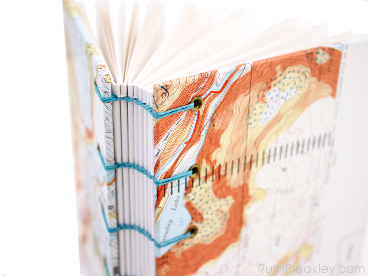
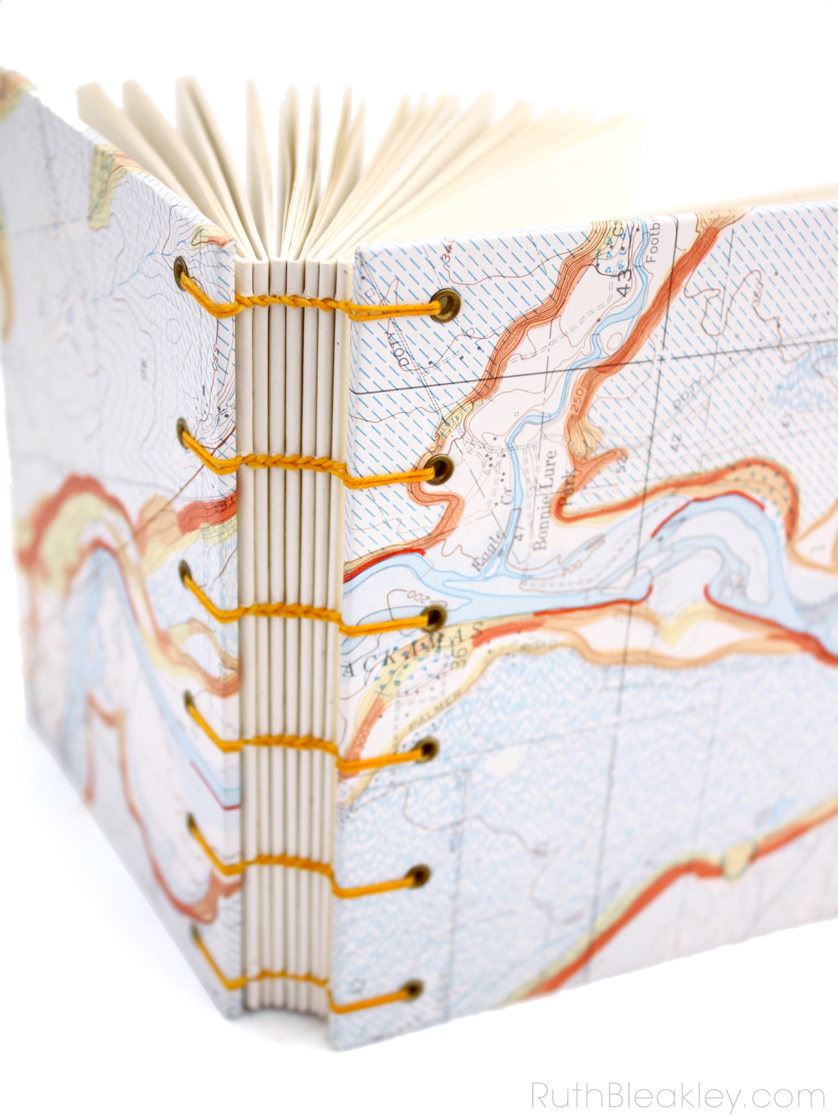
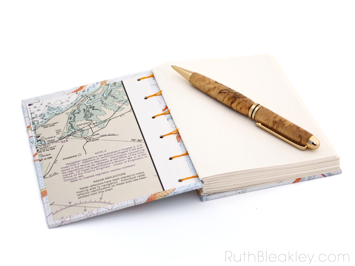
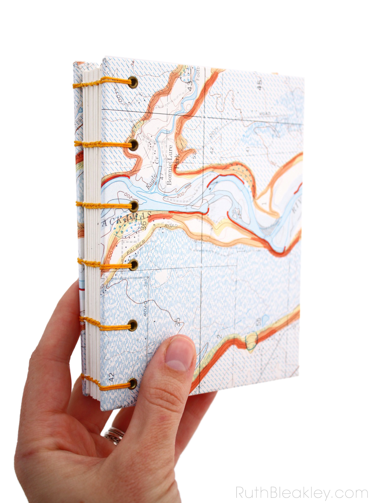
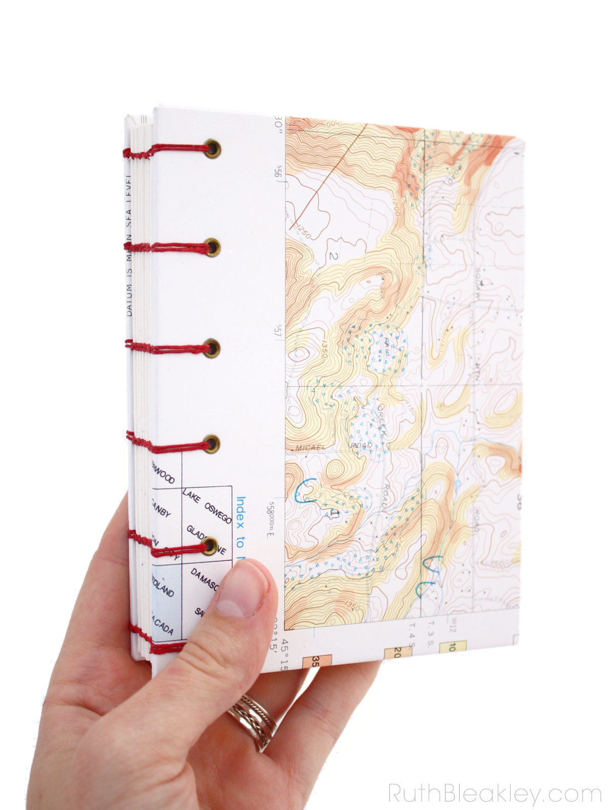
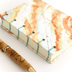
I found these great vintage topographic maps in a shop while visiting Oregon, and they depict “Geographic Hazards of Clackmas County”. The maps we’re used to seeing are road maps (well, these days with GPS maybe we AREN’T used to seeing road maps…) but these maps show the layout of the ground and the rocks and are beautifully and unusually rich in color.
If you love these, check my etsy shop to see if they’re still for sale – regrettably, once they’re sold they’ll be GONE FOREVER since I only have one of each map, so get them while you can!:
Red Spine Oregon Topographic Map Journal
Orange Spine Oregon Topographic Map Journal
Blue Spine Oregon Topographic Map Journal
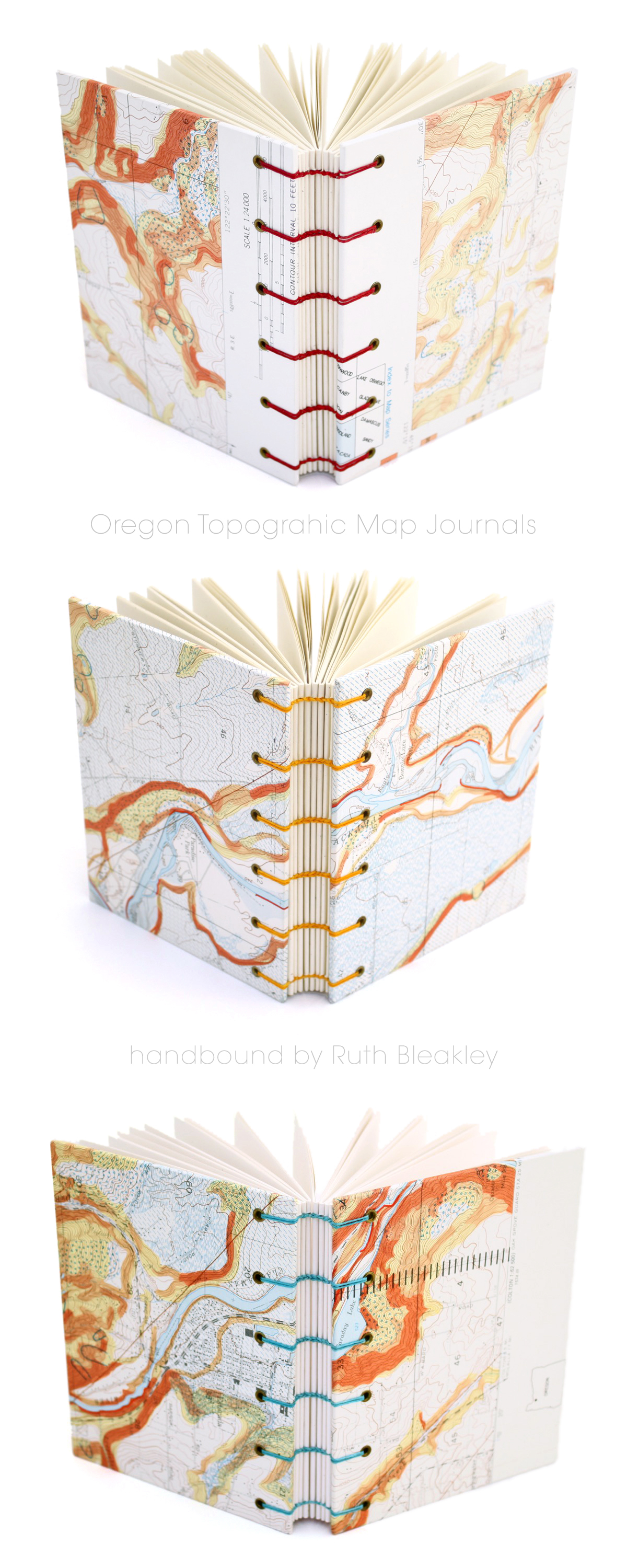
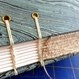
The books measure 4 1/4″ wide, and 5 1/2″ inches tall, it’s the perfect size for a backpack or purse. You can also keep it by your bedside table to write in at night. I sewed this book by hand using waxed Irish linen thread which is super tough and the unique exposed spine on this book is a special type of bookbinding called Coptic stitch, a binding allows the book to lay completely flat.

Related Posts

Related Posts


Leave a Reply